|
Return to
Photo
Index
Return
to Clickable Map
Return to Home Page |
|
|
|
|
Travel Pictures - ICELAND - 1999 |
|
| All images © Ron Miller |
|
|
|
|
|
|
|
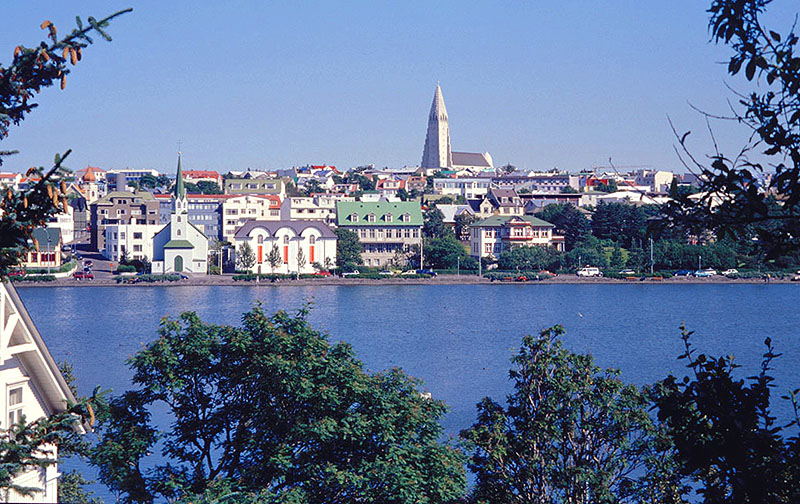
The skyline of Iceland's capital
city is dominated by the 230-foot tower of Hallgrimskirkja Church, which
is designed
to resemble volcanic basalt columns - Reykjavik, Iceland |
|
|
|
 |
|
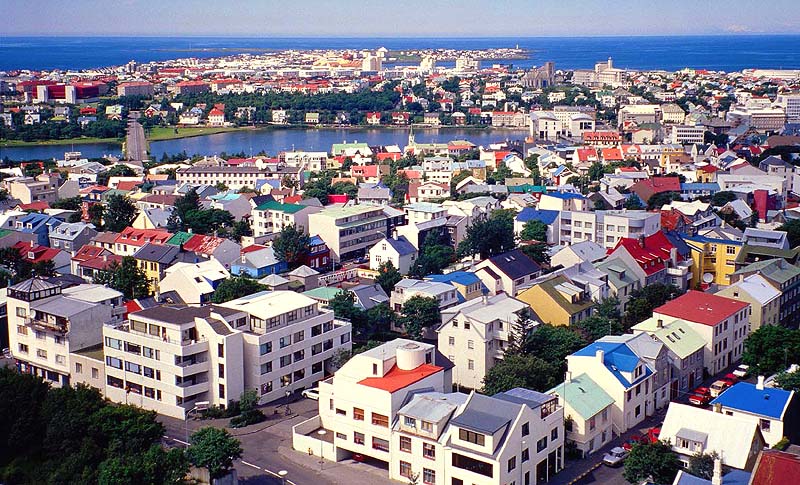
| Colorful view from
Hallgrimskirkja Church - Reykjavik, Iceland |
|
|
|
 |
|
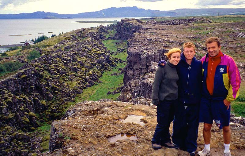
| Fellow travelers standing
adjacent to a
fault in the earth's crust - Pingvellir N.P., Iceland |
|
|
|
 |
|
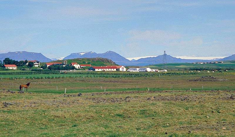
| Lush dairy farm with one of
Iceland's four icecaps looming on the horizon - southeast Iceland |
|
|
|
 |
|
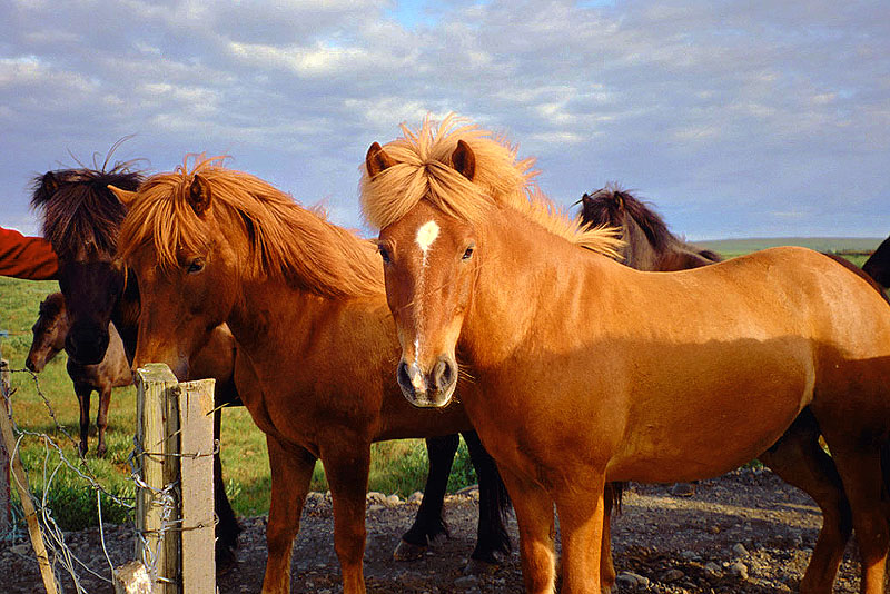
| Icelandic ponies are beautiful
and sociable - southeast Iceland |
|
|
|
 |
|
| "Brunettes have more
fun" - southeast Iceland |
|
|
|
 |
|
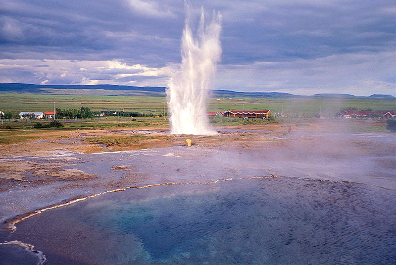
| Strokkur Geyser erupting beyond a
crystal-clear pool of scalding water - southeast Iceland |
|
|
|
 |
|
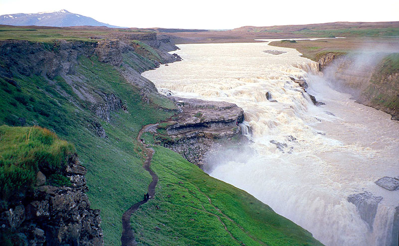
| Glacial melt feeds this milky
torrent - Gullfoss Falls, Iceland |
|
|
|
 |
|
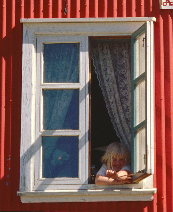
| Icelandic girl saying hello to
the Tennessean - Eyrarbakki, Iceland |
|
|
|
 |
|
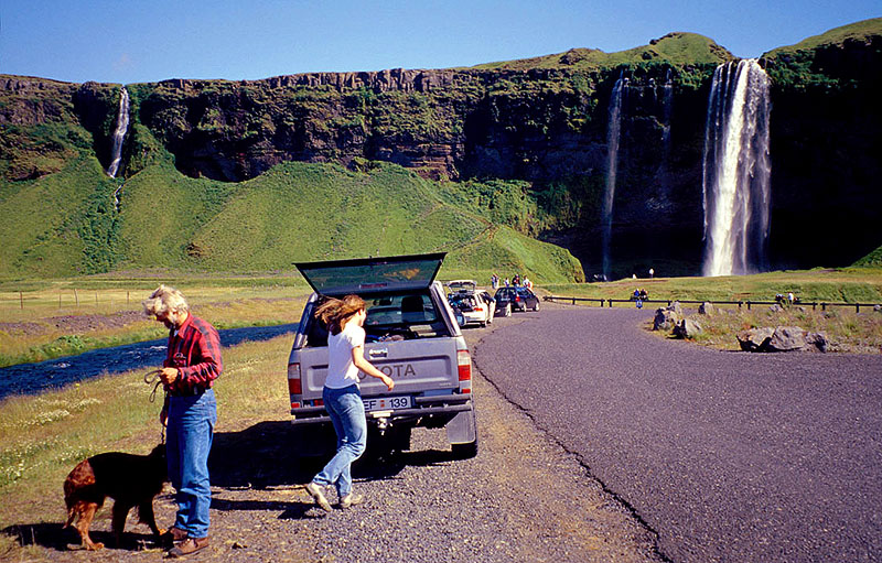
Icelandic professor, his dog, and
his Canadian assistant; I sat in the backseat with the dog! -
Seljalandsfoss, Iceland |
|
|
|
 |
|
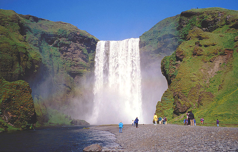
| This is not a tropical scene from
Hawaii - Skogafoss, Iceland |
|
|
|
 |
|
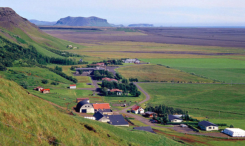
View from Skogafoss toward the
Dyrhoaey arch that is just visible on the horizon -
southeast Iceland |
|
|
|
 |
|
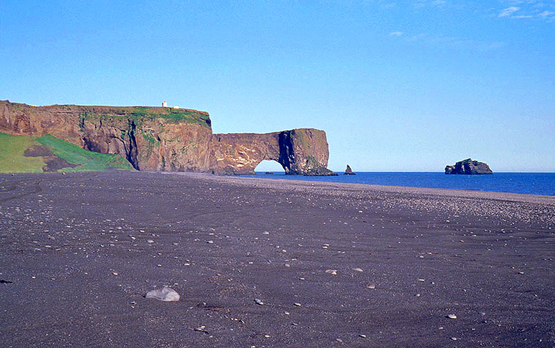
| A stunt pilot is said to have
flown through this sea arch - Dyrholaey, Iceland |
|
|
|
 |
|
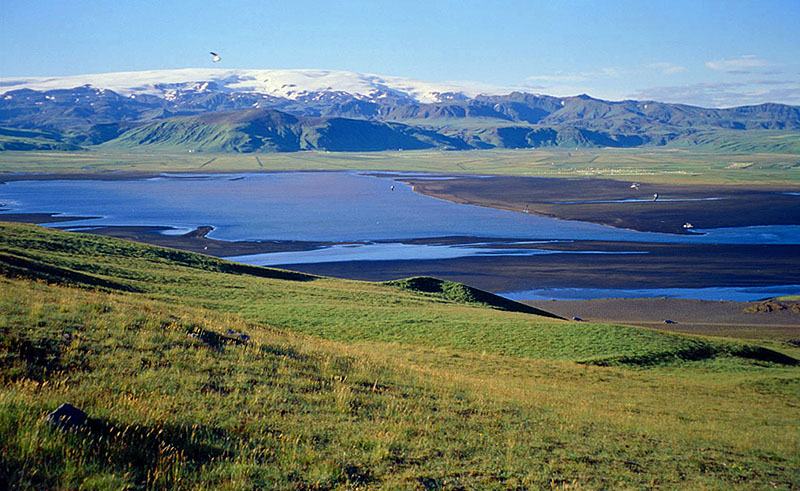
| The Myrdalsjokull ice cap is
Iceland's fourth largest - near Vic,
Iceland |
|
|
|
 |
|
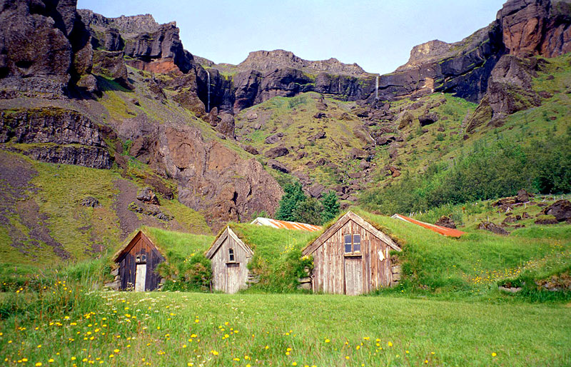
| Sod-roofed homes provided good
insulation to combat the severe climate - Nupsstadur, Iceland |
|
|
|
 |
|
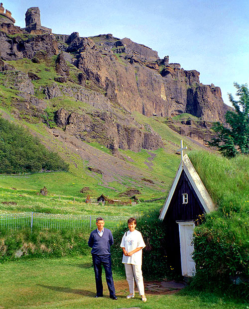
Hospitable German couple who gave
me a lift -
St. Nicholas Church, Nupsstadur, Iceland |
|
|
|
 |
|
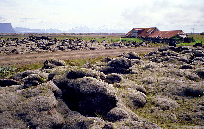
Moss-covered lava and a farmhouse
designed for nuclear winters (Iceland's highest peaks rise in the
distance) -
near Nupsstadur, Iceland |
|
|
|
 |
|
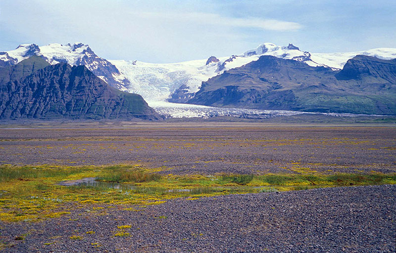
Iceland's tallest peaks act like
a dam to hold back the Vatnajokull icecap, which is up to 3,500 feet
thick! -
Skaftafell N.P., Iceland |
|
|
|
 |
|
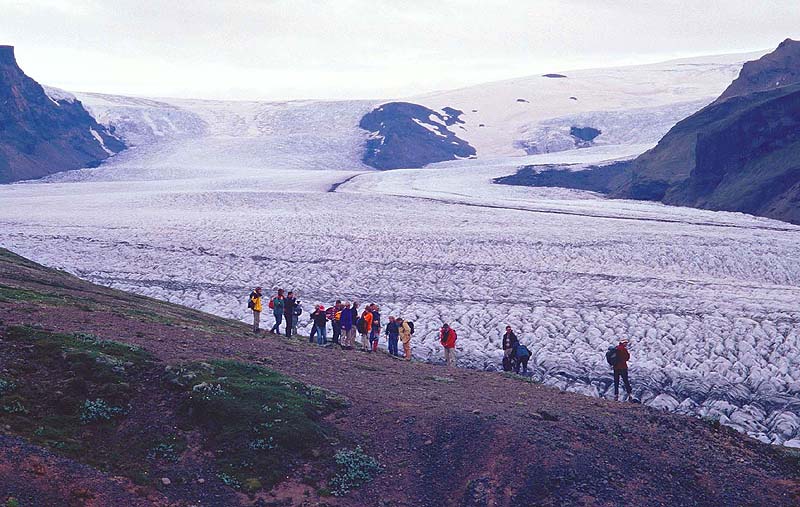
| The Skaftafell Glacier flows out
of Iceland's largest icecap, Vatnajokull - Skaftafell N.P., Iceland |
|
|
|
 |
|
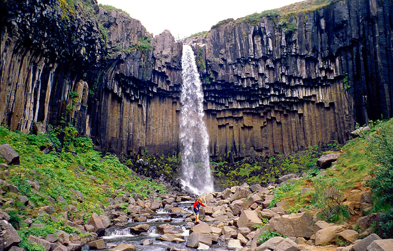
Icelandic girl testing the icy
water with her "foot-ometer"; the unusual features are basalt formations
-
Svartifoss; Skaftafell N.P.,
Iceland |
|
|
|
 |
|
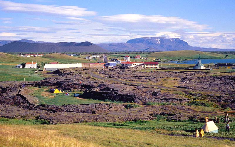
This region in
north-central Iceland has many volcanic and geothermal features including
the volcano Hverfell (upper left)
and the lava flows (foreground) that threatened the
town in 1729 - Reykjahlid, Iceland |
|
|
|
 |
|
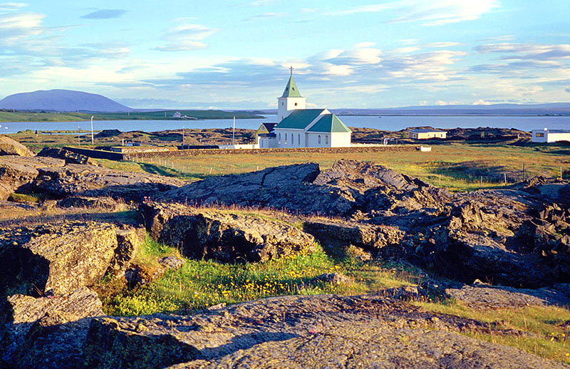
When the lava flows came plowing
through town on August 27, 1729, it destroyed farms and buildings
but spared this wooden church - Reykjahlid, Iceland |
|
|
|
 |
|
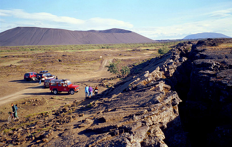
This fissure is hard evidence
that the earth's crust is splitting through the middle of Iceland
(Hverfell Crater in distance) - Grjotagja; Myvatn, Iceland |
|
|
|
 |
|
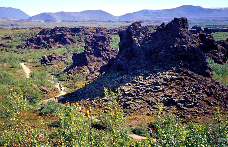
Tourists strolling through the
fantastic "black castle" lava formations -
Dimmuborgir; Myvatn,
Iceland |
|
|
|
 |
|
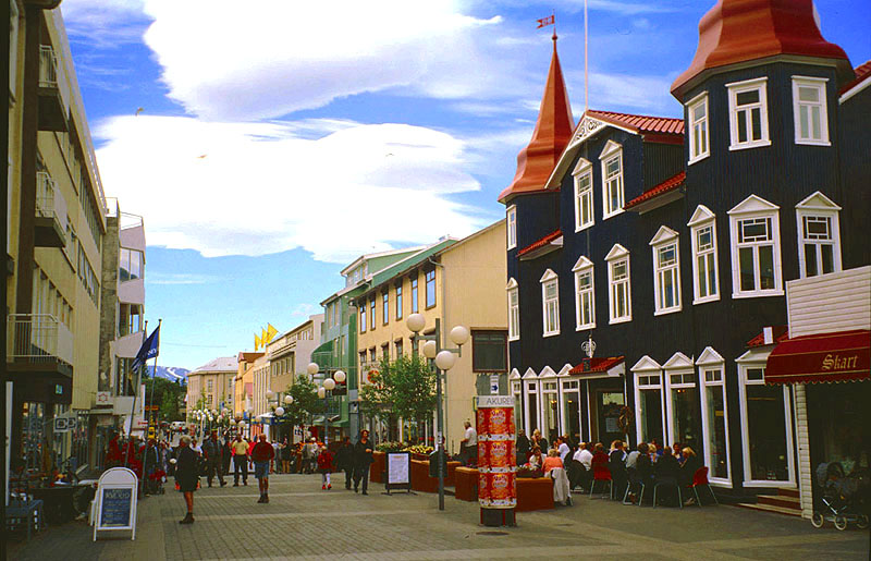
North-central Iceland's largest
city has a pleasant micro-climate with the most summer sunshine on the
island -
Akureyri, Iceland |
|
|
|
 |
|
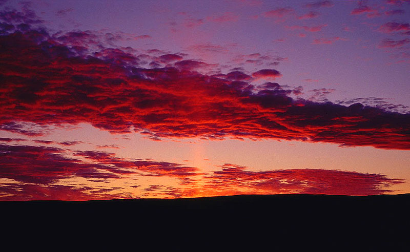
Because of the midnight sun, this
sunset lasted for several hours! -
Myvatn, Iceland |
|
|
|
|
|
|
|
Return to
Photo
Index
Return
to Clickable Map
Return to Home Page |
|
|
|
All images © Ron Miller
For authorized use of these photos, please contact Ron Miller at TheHappyCannibal@gmail.com |
|
|
|
|
|
|


