Return to Photo Index Return to Clickable Map Return to Home Page
Travel Pictures - CHILE - 1995
All images © Ron Miller
The moment I arrived in Chile, I was completely at ease and felt as if I had just returned home. That is the effect this nation has on many travelers. The Chilean people were courteous and revealed an unassuming character that I much admired. Traveling from Santiago down to the southern tip of the nation at Punta Arenas was very much like traveling in the opposite direction along the west coast of North America (from California to Alaska). The peaceable people and dramatic scenery make Chile very satisfying to visitors.
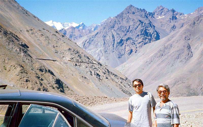
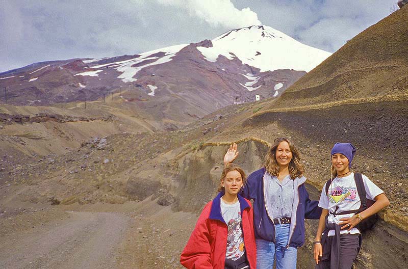
Before traveling south from Santiago, I ventured across
the border to see the highest summit in the Americas (the snowcapped
peak in background).
These Japanese-Brazilians gave me a lift from the Chilean lowlands into
the Andes -
Aconcagua, Argentina (near Chilean border)
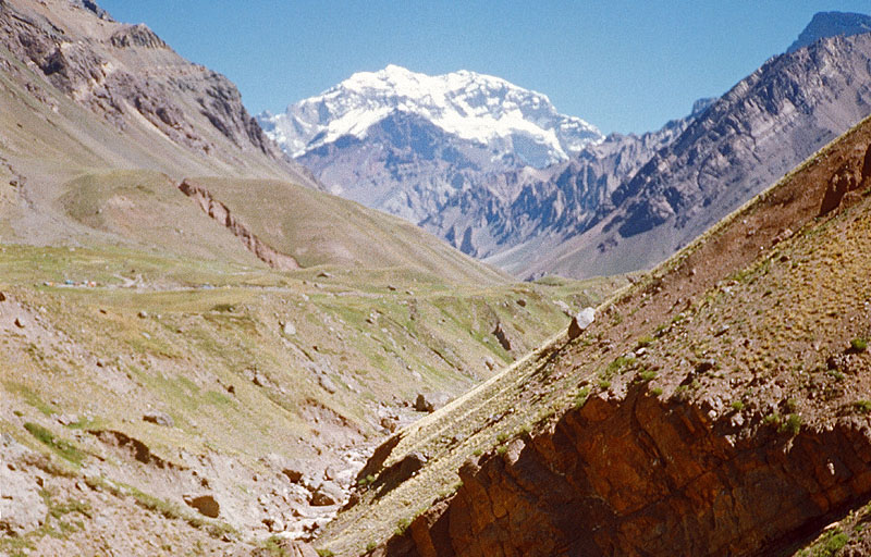
Aconcagua, Argentina (near Chilean border)
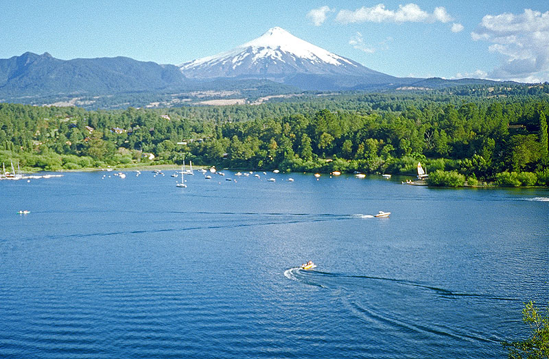
Pucon, Chile
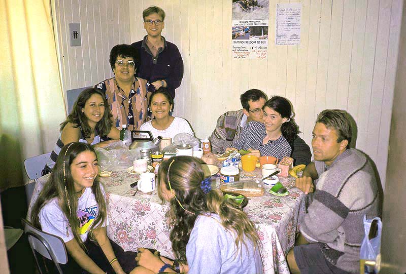
By combining our resources and talents, the meals we prepared each day were exquisite.
Pucon, Chile
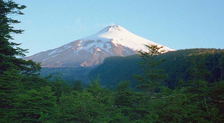
Villarica is perfectly symmetrical and constantly emits a steady stream of smoke -
Volcano Villarica; Pucon, Chile
Volcano Villarica; Pucon, Chile
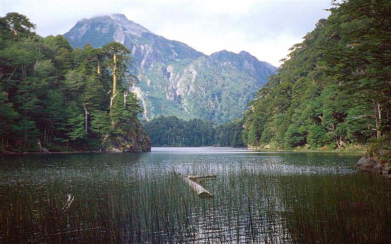
that sport the fascinating Pehuen or "umbrella" tree -
Huerquehue N.P., Chile
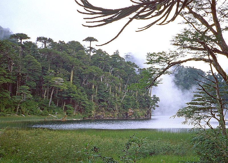
with dagger-like leaves designed to thwart the appetites of 80-ton herbivores -
Huerquehue N.P., Chile
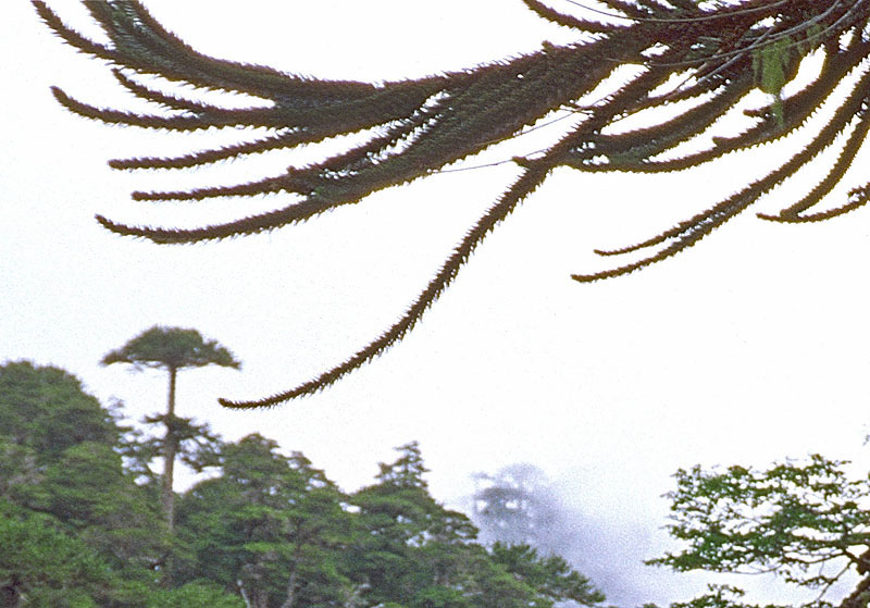
Huerquehue N.P., Chile
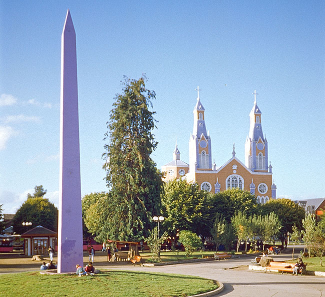
southern hemisphere, similar to towns in the north Atlantic at the opposite end of the planet, most buildings are brightly
painted. The San Francisco Cathedral and the Obelisk stand tall and colorful on Castro's Plaza de Armas -
Castro, Chile
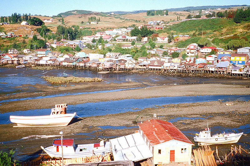
At low tide, the boats become grounded like a fish out of water -
Castro, Chile
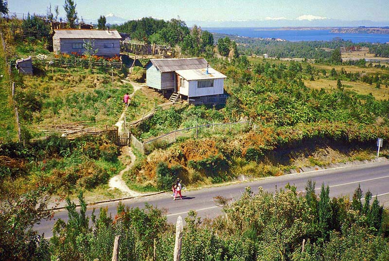
The island is 118 miles long and 40 miles wide. According to Wikipedia, the most widely cultivated variety of potato worldwide is indigenous to Chiloe Island and has been cultivated by the local indigenous people since before the coming of the Spanish -
Chiloe Island, Chile
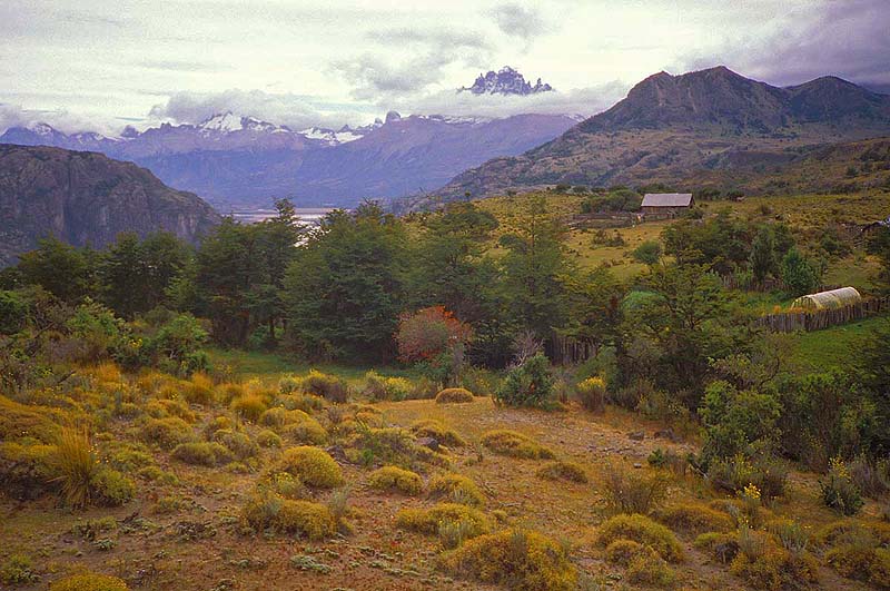
Cerro Castillo, Chile
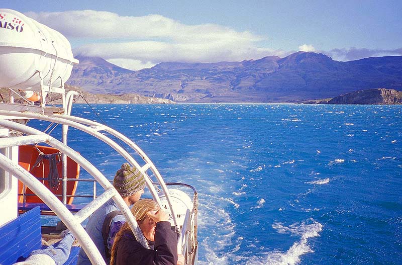
The boat travels from Puerto Ibanez in Chile to Chile Chico near the Argentinean border.
The landscape is much dryer on the leeward side of the Andes -
Lake General Carrera, Chile
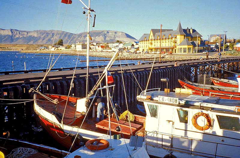
The city is popular as the gateway to the nearby Torres del Paine N.P. -
Puerto Natales, Chile
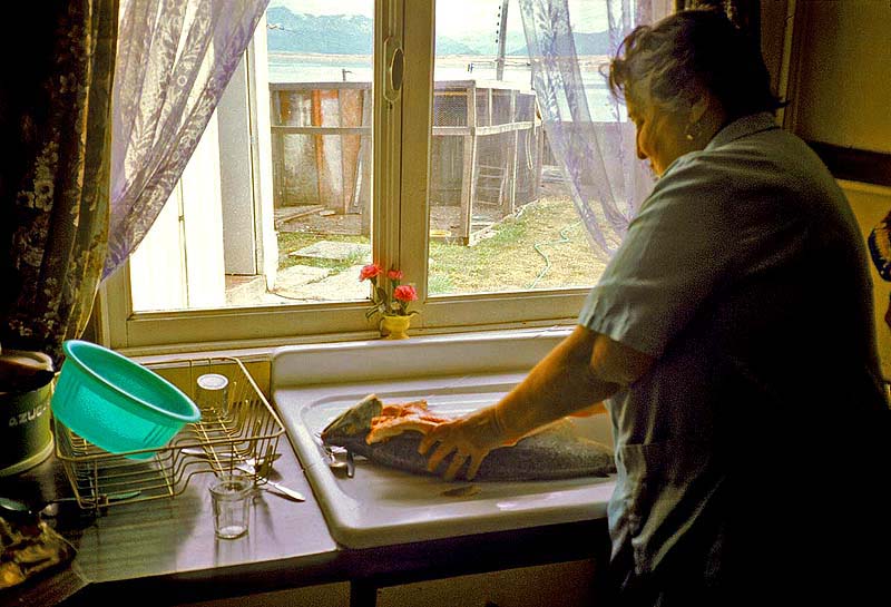
Puerto Natales, Chile
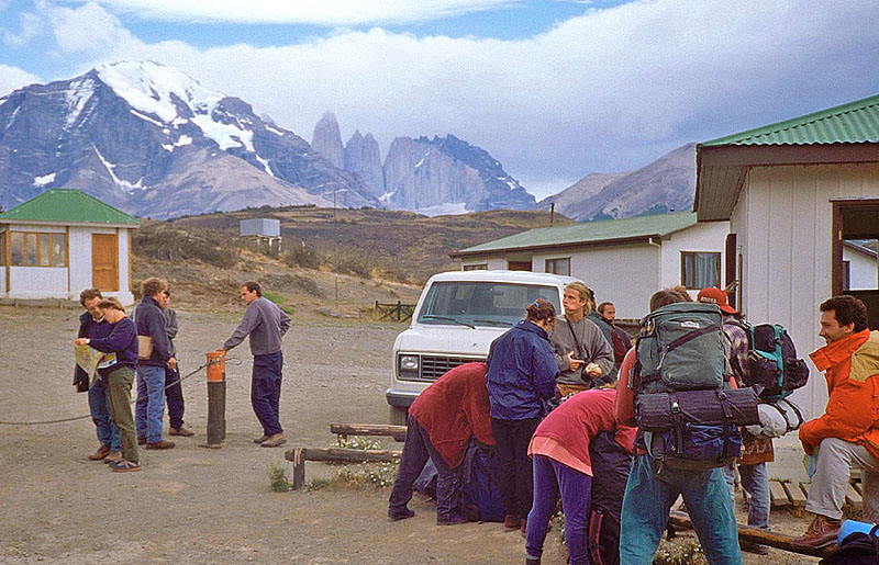
The nearly 9,000-foot-tall granite pillars can be seen towering above the pampas in the distance -
Torres Del Paine N.P., Chile
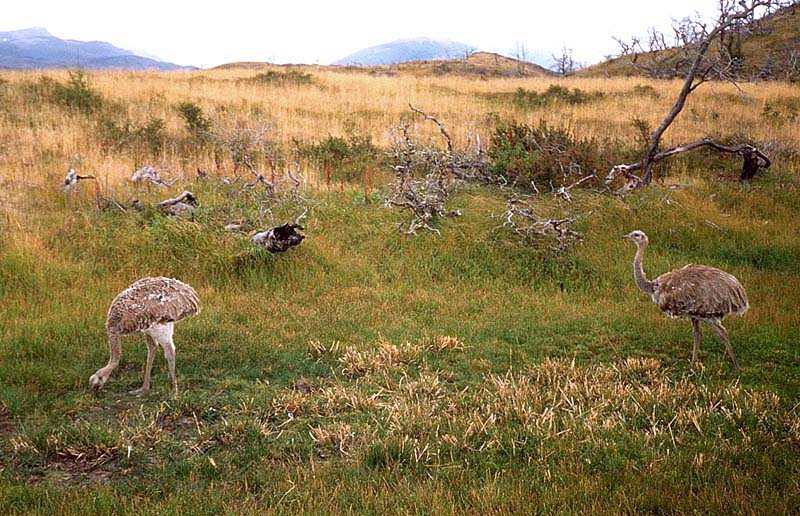
Torres Del Paine N.P., Chile
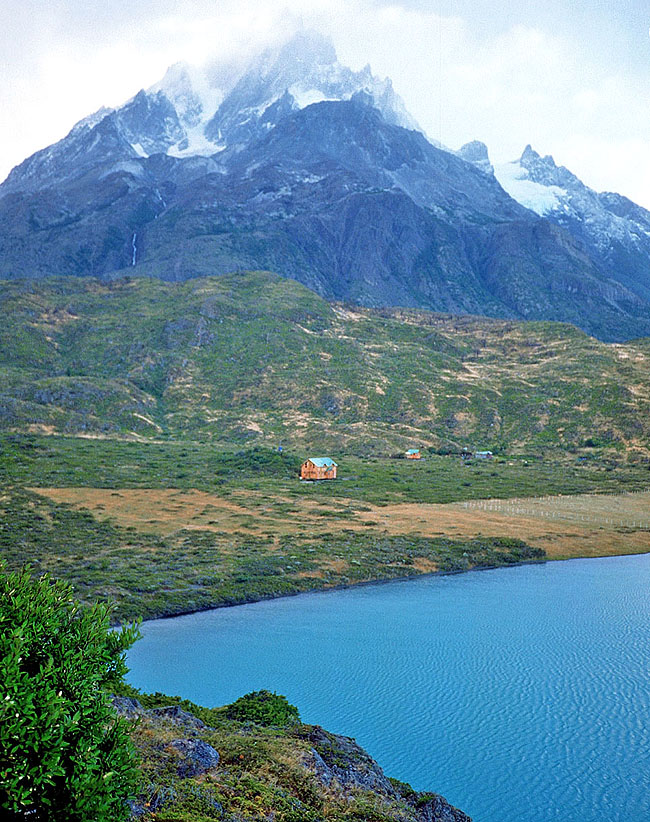
of the psychedelic lake Pehoe (the water color is due to glacial silt) -
Torres Del Paine N.P., Chile
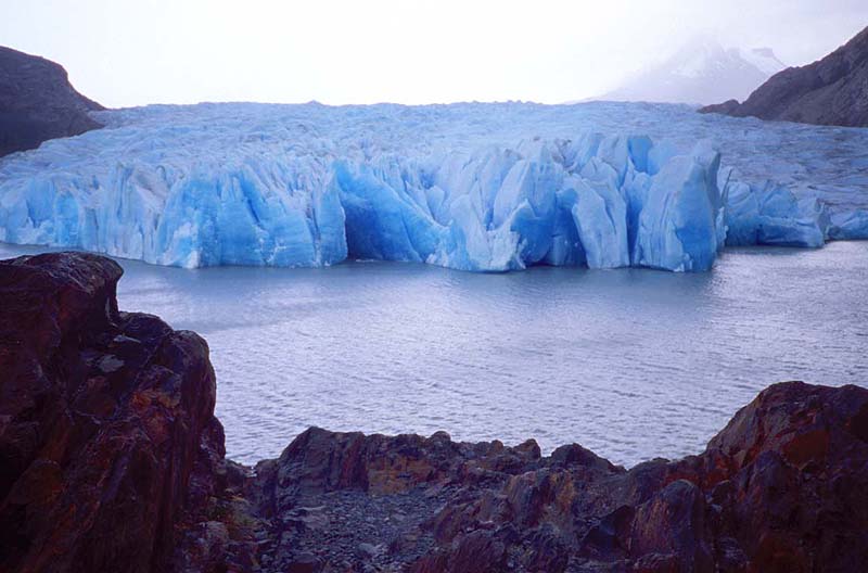
which is the largest icefield outside of Antarctica and Greenland -
Torres Del Paine N.P., Chile
Torres Del Paine N.P., Chile
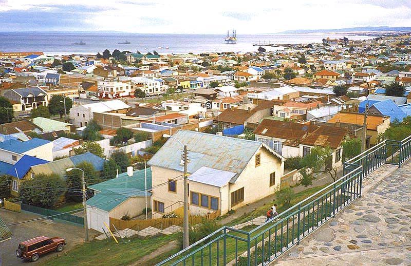
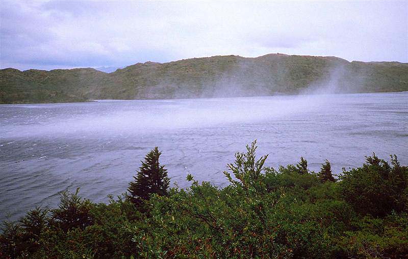
Punta Arenas, Chile
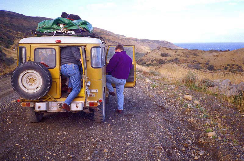
the island of Tierra del Fuego and took my chances hitchhiking. I was very fortunate that my sad and lonely posture awakened
the empathy of these tourists in their rental jeep, as there were very few vehicles entering the desolate landscape -
near Porvenir, Chile
Return to Photo Index Return to Clickable Map Return to Home Page
For authorized use of these photos, please contact Ron Miller at TheHappyCannibal@gmail.com